Stretch by stretch
| Stretch | Distance | Time | Notes |
|---|---|---|---|
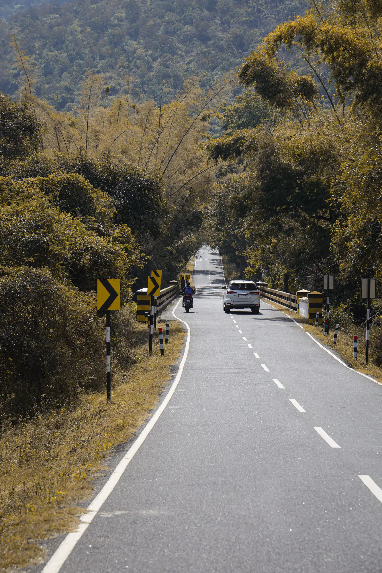
| Coimbatore → Pollachi | ~40 km | 1 h | Four-lane highway via Kinathukadavu; breakfast in Pollachi |
| Pollachi → Aliyar Dam | ~24 km | 35–40 min | Coconut groves; Aliyar park and viewpoint |
| Aliyar → Monkey Falls | ~6 km | 10 min | Forest-department falls; closes in heavy rain |
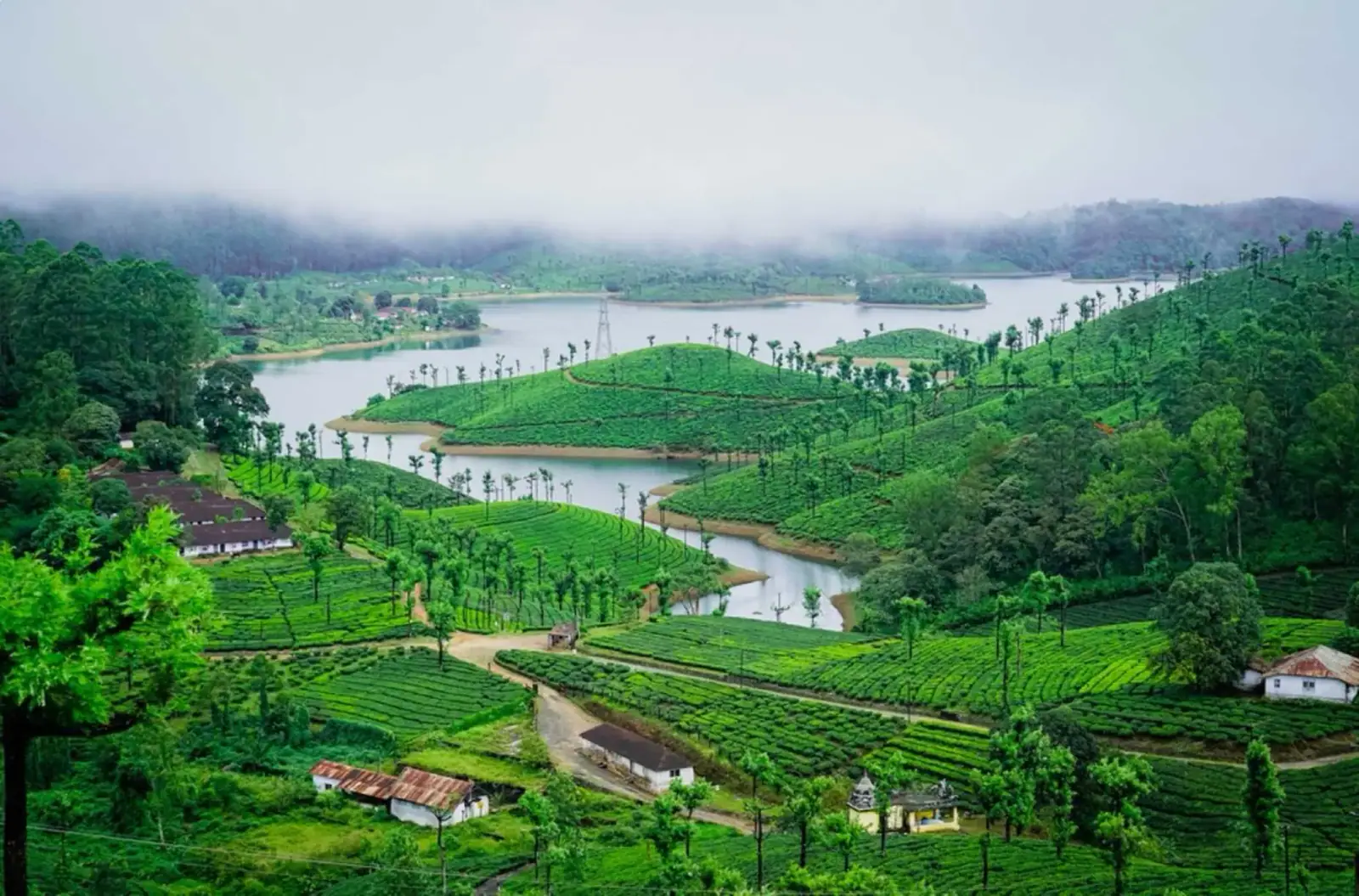
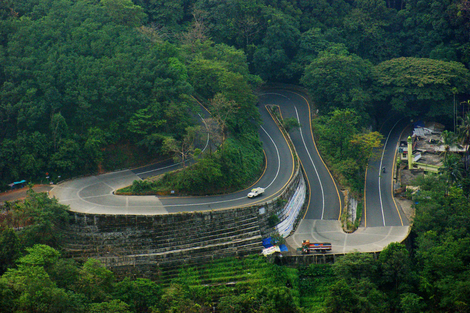
| Monkey Falls → Valparai | ~35 km | 1.5 h | 40 hairpin bends; Loam's View near the 9th bend |
Stops worth making
- Pollachi — breakfast and fuel
- Aliyar Dam
- Monkey Falls (when open)
- Loam's View Point
- Attakatti View Point
Driving tips
- Climb in daylight; fog and wildlife slow night driving.
- Use low gears on the descent, horn at blind bends.
- Don't park on bends; use viewpoints.
- Weekend traffic peaks at Aliyar and Monkey Falls from mid-morning.
Want us to plan this trip for you?
Local naturalist-led team · private cab · inspected stays · itemised quote.
Frequently asked questions
Which is the best route from Coimbatore to Valparai?
Via Pollachi and Aliyar — it is the only direct road route from Coimbatore.
Is the Coimbatore–Valparai road good?
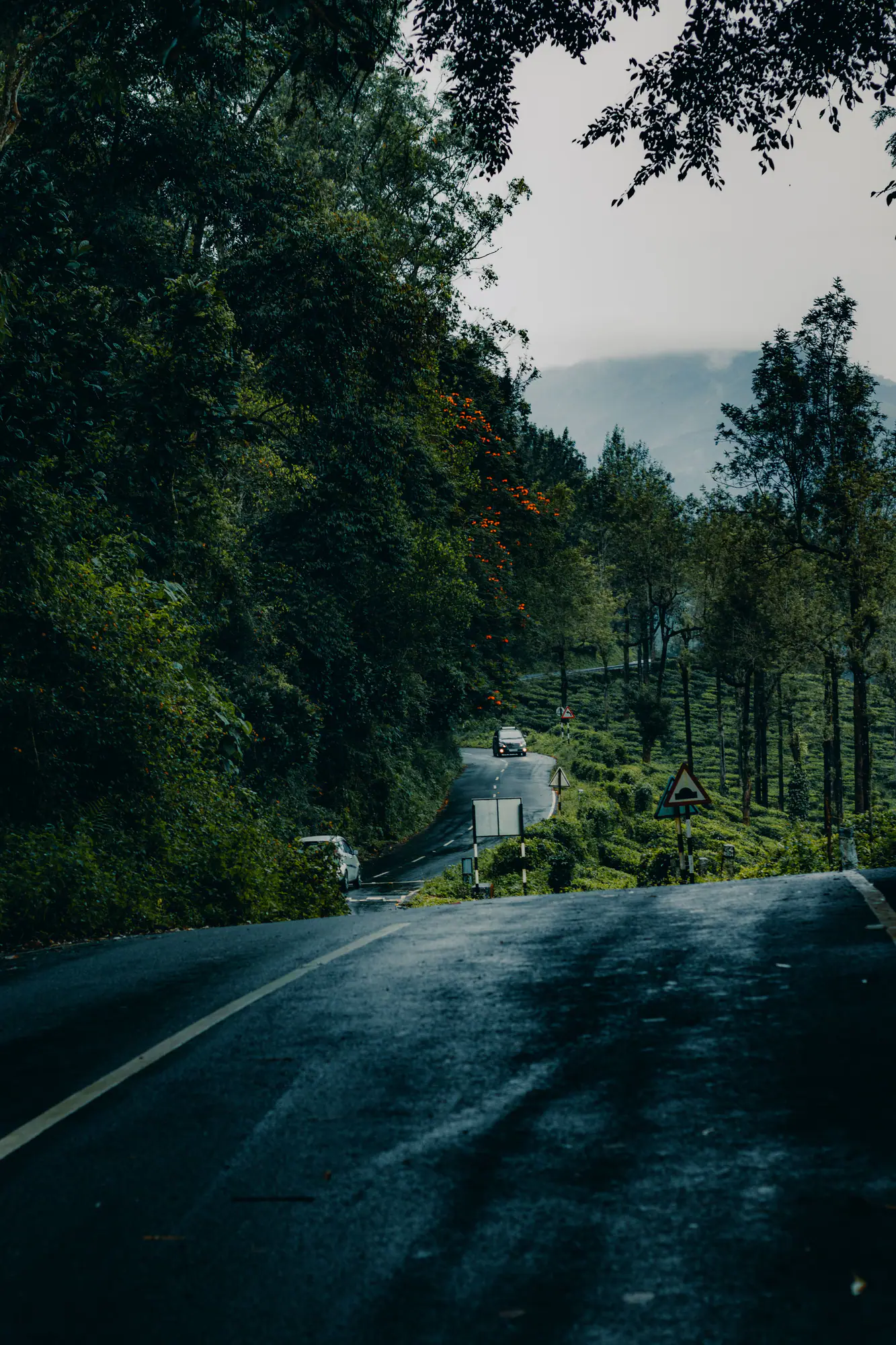
The highway to Pollachi is excellent; the ghat is narrow but well maintained, with sharp bends.